First stop, a walk to some caves (collapsed lava tubes) used as dwellings

Grazing cattle - had to watch out under foot!

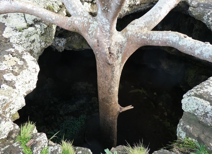
Tree growing out of collapsed lava tube
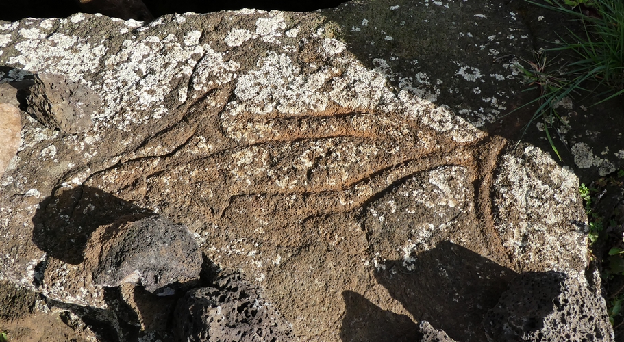
Carving on stone at entry - fish
Around the other side...

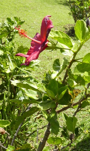
Bees (our first sighting on the Island) and other plants


Descending the cave
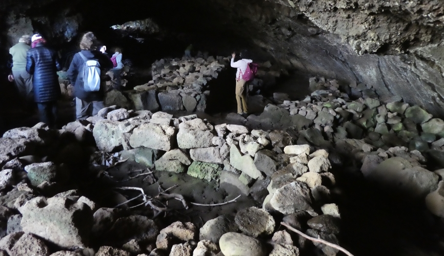
Living area
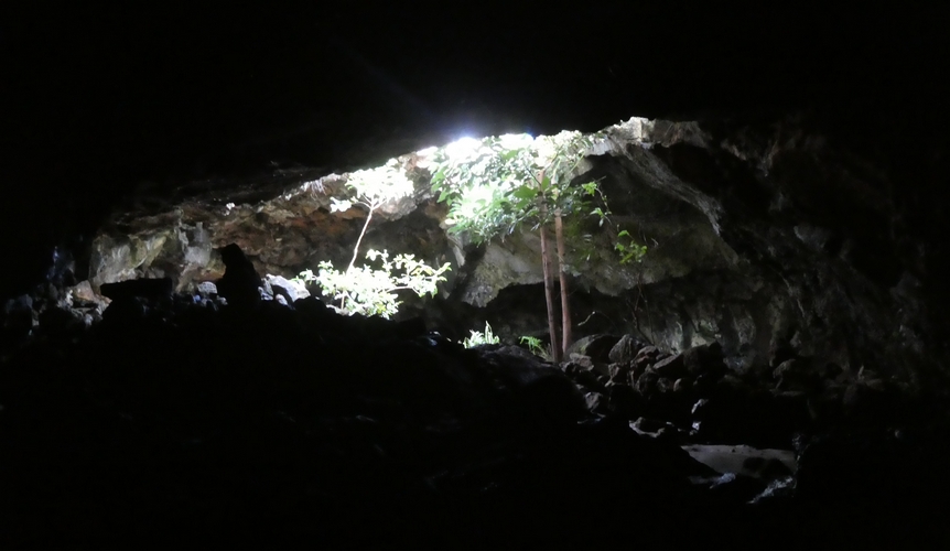
opening to collapsed roof


Cave dwellers (Louise and Suzanne)


At the end of the park
On to..

Sign and siite

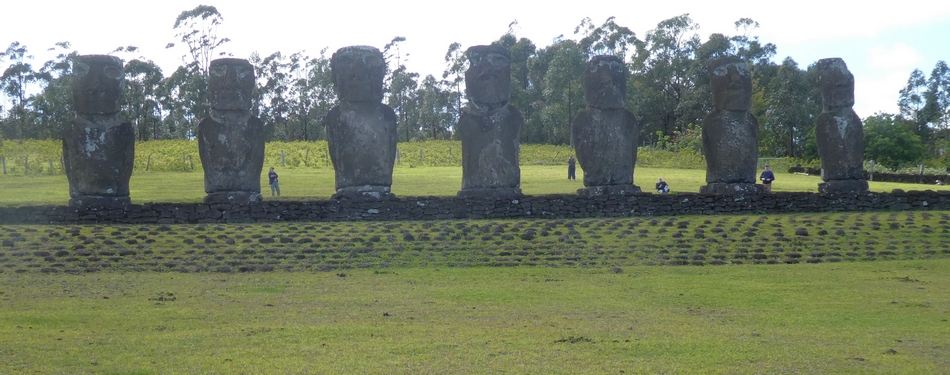
Ahu Akivi
Full frontal

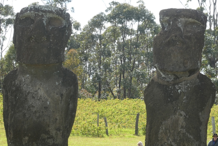
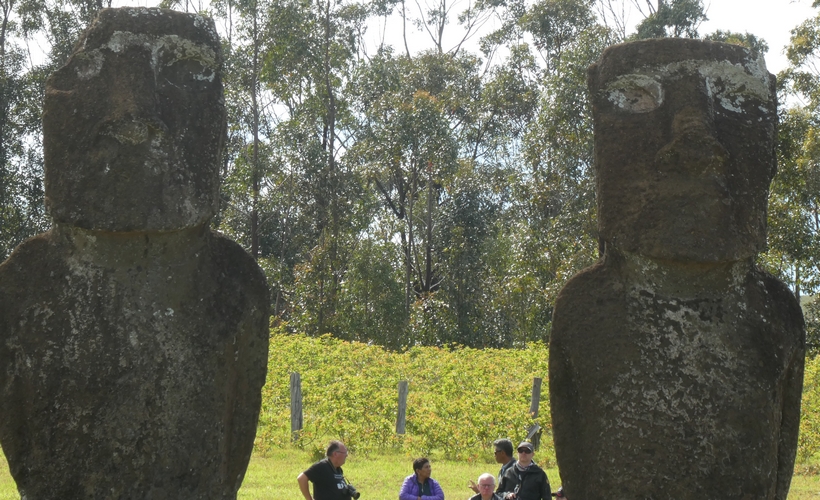
Close-ups of some


Wide view showing visitor limited access line - possible burial area
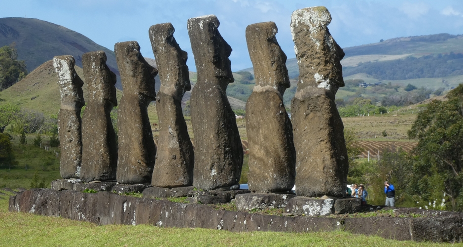
Rear view (bit obvious, really)

Ahu + Moai

More of the platform view

Arty picture

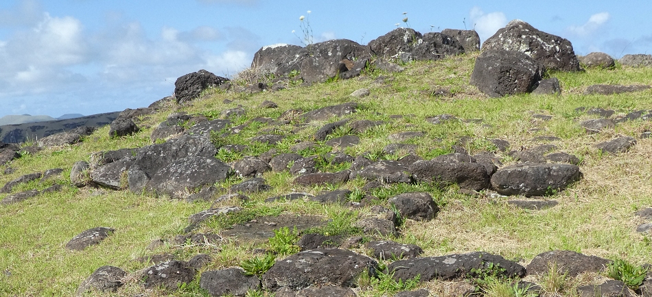
The Hill is called Maunga Tangaroa
These three crosses were originally erected here in the 90s
They serve as a reminder of the three that were erected by by the Spanish in 1770,
who were hoping to convert the islanders to Christianity.
Originals were elsewhere (Summit of Poike, n the East)

Quarry where the Topknot stone is extracted


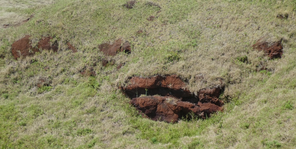
Hill side showing exposed red rock

Looking back to the site

Looking out over Hanga Roa
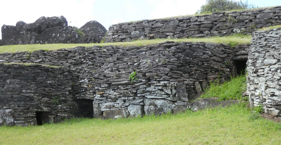
House (Casa) numbers used here are from: Rapa Nui Journal v.26(2), 2012, p.73 (see plan)

Un-restored house
Much of the site restored by William Molloy and a group of islanders in 1974
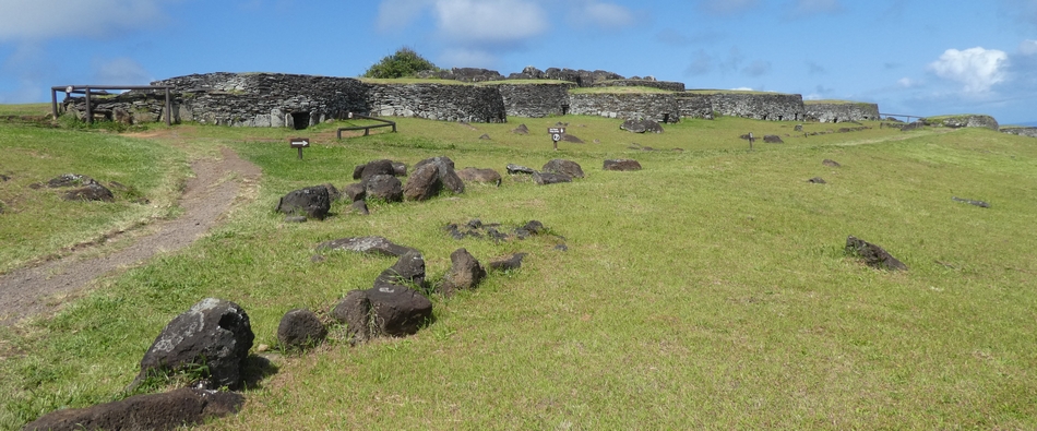
First view of the restored site and we head to Casa/House 3 on the left...

Casa 3: Part of the roof has been removed to provide a view into one of the dwellings

Tour Guide Ryngo describes the scene

Part removed roof

View inside

Entrance to Casa 3
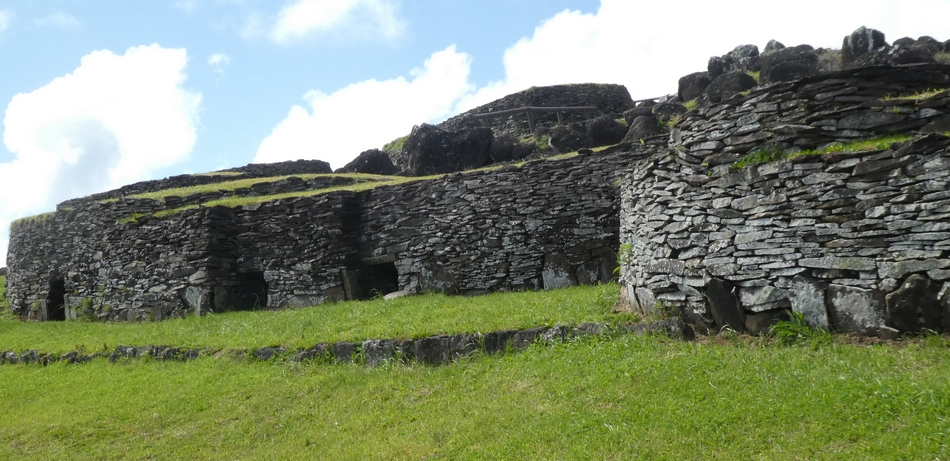
No entry to other so a walk down to see other Casa (houses)

L-R: Casa 6 (in the corner) and Casa 7

Panorama -nearest house is Casa 7
L-R: Casa 9, Casa 10, Casa 11 (top of grassy ramp)

L-R: Casa12, Casa 13, Casa 14 (x2), Casa 19 and Casa 20 (probably)
The [stolen] Moai sent to London was reported at that time to have been removed from Casa
13.
Casa 13, on a K Routeledge plan, sat behind the currently labelled Casa
15 (see plan)

L-R: Casa 15, Casa 16, Casa 17, un-numbered Casa, Casa
19

Panorama from the above, then the entrances to Casa 21 and Casa 22

Casa 23

L-R: Casa 24, some entrances hidden by curve in wall, Casa 27
Looking Back L-R: Casa 24, Casa 25, Casa 26 (round the corner)
No entry to the bottom end for some years, so limited access to the petroglyphs, though a telephoto lens helped a little


Birdman images can be just about seen
Better views when up close (as in 2004)

Left to right: Motu Nui (big islet), Motu Iti (Small Islet) and Motu Kao Kao
("Thin Islet)

View from the end looking at a dip in the Crater Rim
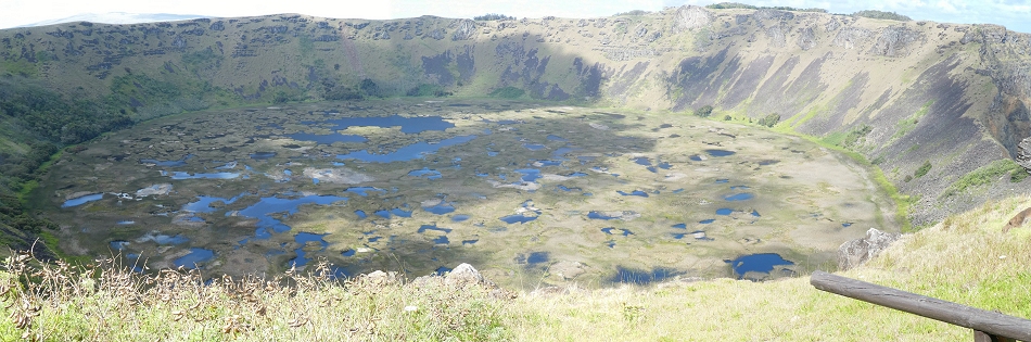
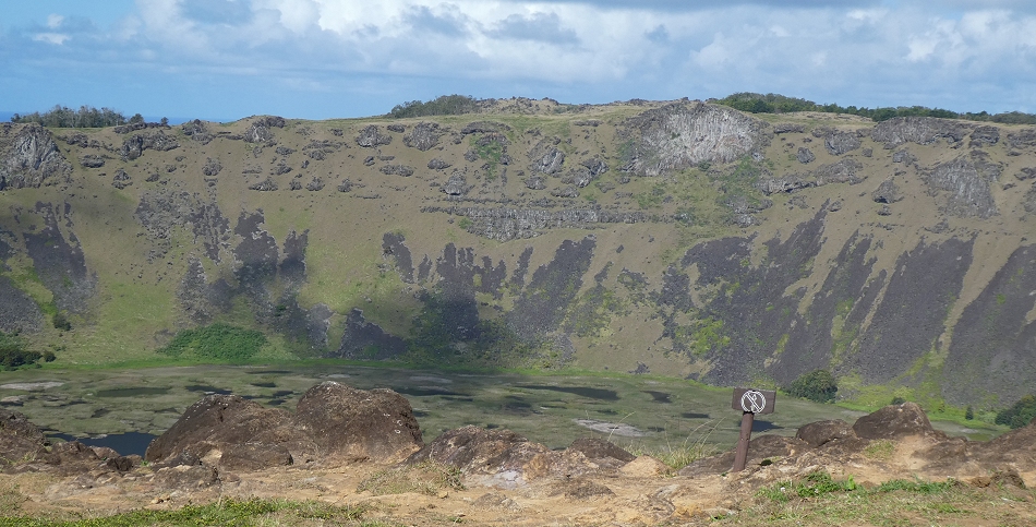
Rano Kao Crater

Crater rim and end of Orongo

View from the craterHill and Rock peak somewhat similar!

The village overlooks the Rano Kao crater

The visitors and their guide

Thought to have some astronomy purpose - aligned N-S
Remains of a small Ahu, some reports suggest that this was the original location
for the Moai Hoa Hakanananai.
The Moai was removed in 1868 (from Casa 13) as a gift to Queen Victoria

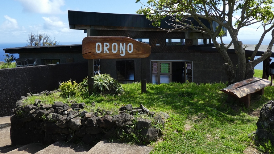
Outside the visitor centre entrance
A view of the crater from near the viewpoint

The Oheho - the bar of choice on the Island (so far)


Suzanne with friend + Sunset from the sea front (Ahu Hotake)]
After sunset was a stargazing [optional at a cost] excursion
at an ancient observatory site in Ho'onu area
It was dark so couldn't see anything so could have been anywhere
It was quite cloudy, a bit disorganised, and/so saw very little.
No pictures but the highlighted track is to the site (Hanga
Roa on the left)
Un-highlighted tracks are the tracks for the other days.

GPS Coordinates are: -27.0881, -109.2889 (copy and paste into Google)
[GPS coordinates also known as: 27°05'17.2"S 109°17'20.0"W
Return to ASE2024 Home Page or go to Eclipse Day